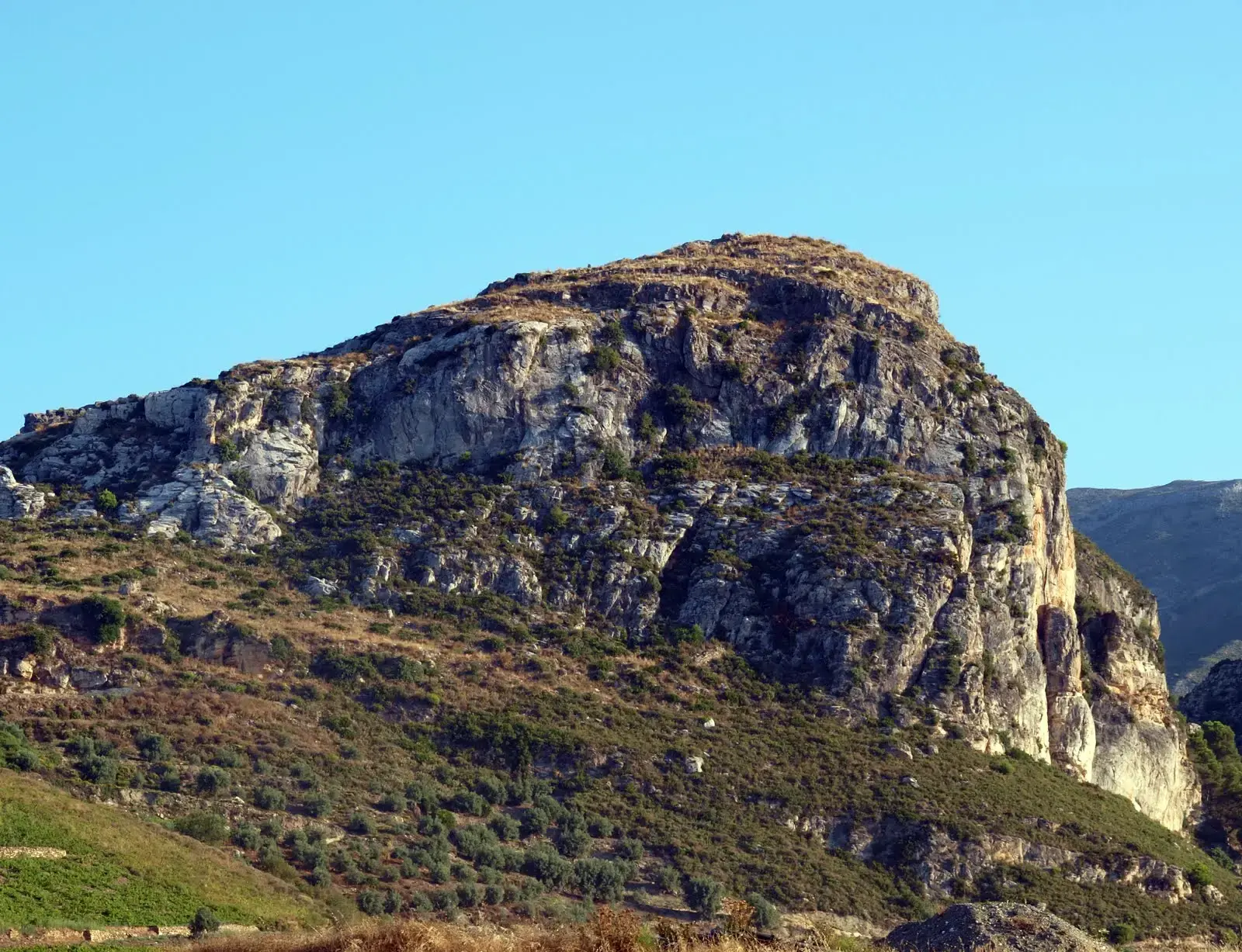
Peñón de los Castillejos: Walk to the Moorish Fort
Trail description
ℹ️ A short climb, not a long hike
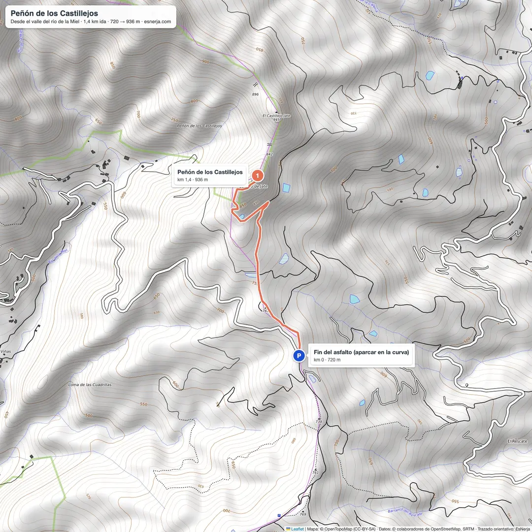
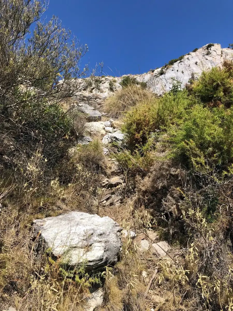
The Peñón is reached in 1.4 km from the end of the tarmac on the Río de la Miel road, about 30–40 minutes. It does not start at the Nerja Caves: it lies to the east, above the Río de la Miel valley. The last stretch is steep and stony, with a chain to help on one step.
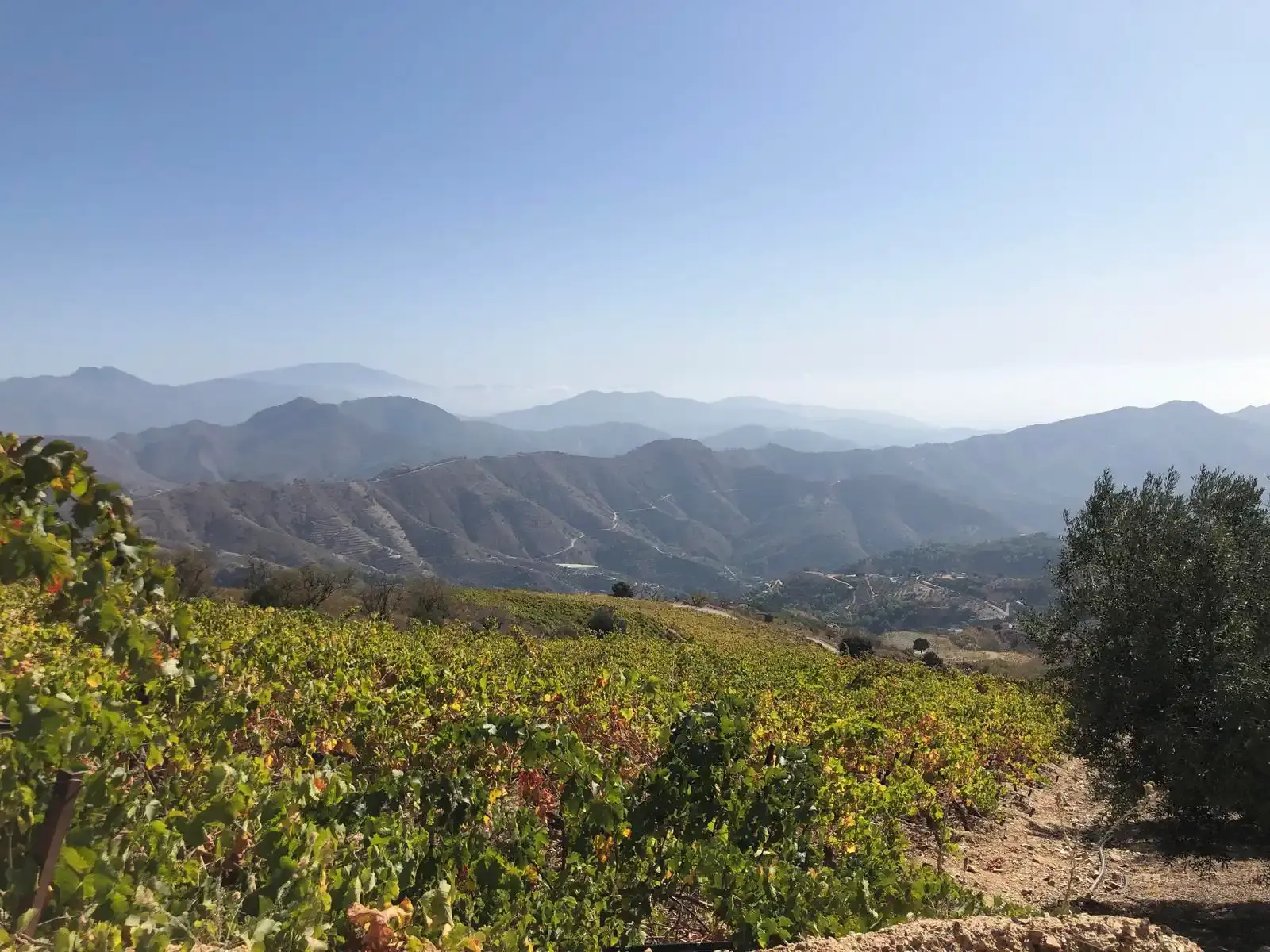
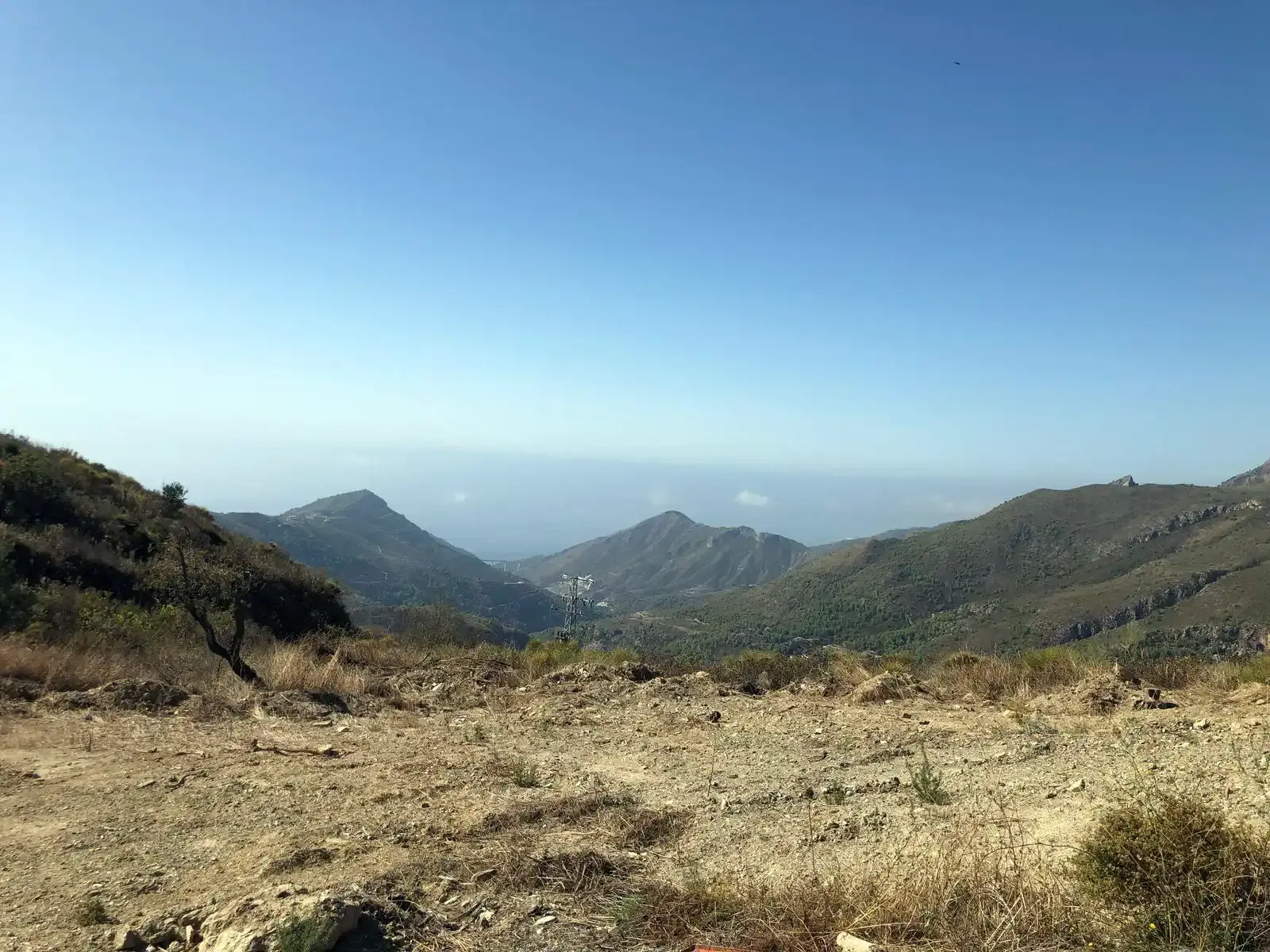
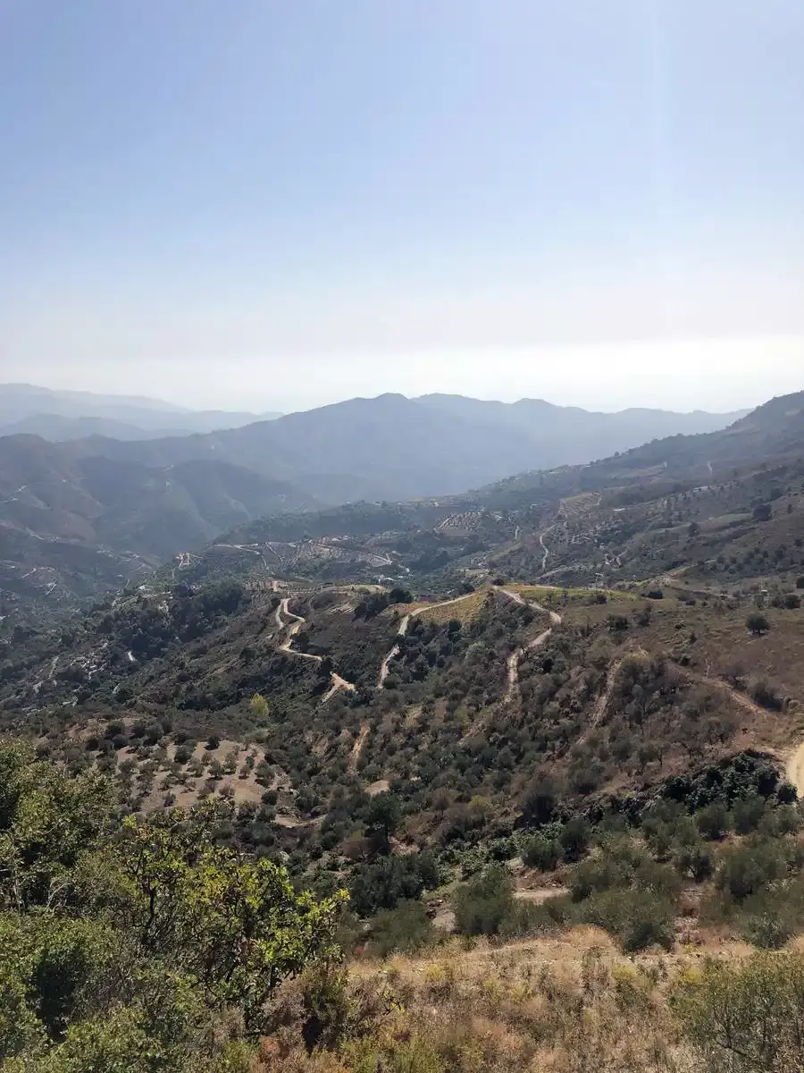
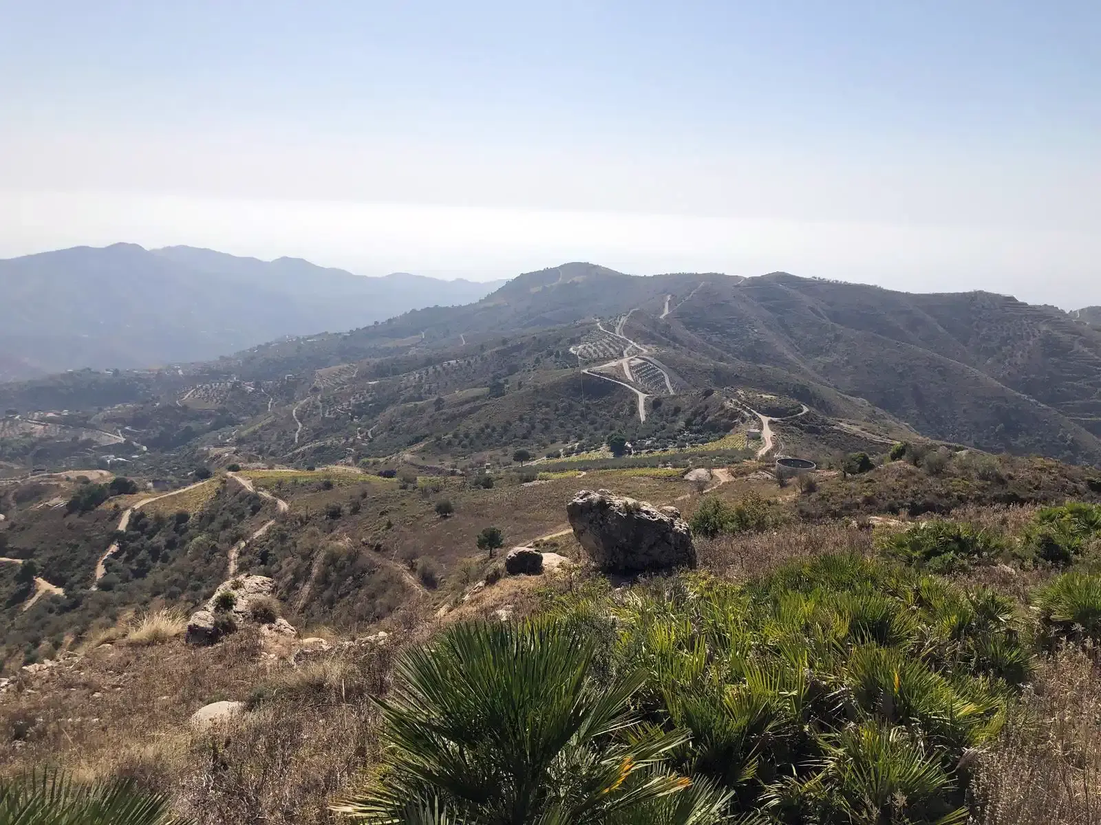
The Peñón de los Castillejos (936 m) is an isolated crag above the Río de la Miel valley, between Maro and Cerro Gordo, topped by the remains of a fortress from the Al-Andalus period: sections of wall, two cisterns and rooms cut into the rock, and on the slope the dry-stone walls of a small village. The pottery found there dates from the 10th and 11th centuries. It is a short climb with huge views: the Maro and Cerro Gordo coast, the bay of La Herradura and, on clear days, Sierra Nevada.
Trail map
Trail facts
- Start: end of the tarmac on the Río de la Miel road (720 m).
- Distance: 1.4 km one way; 2.8 km there and back.
- Elevation: about 220 m.
- Time: 30–40 min up; 1–1.5 h there and back with the visit.
- Difficulty: moderate: short, but steep and stony at the end.
- Water and shade: none.
The climb
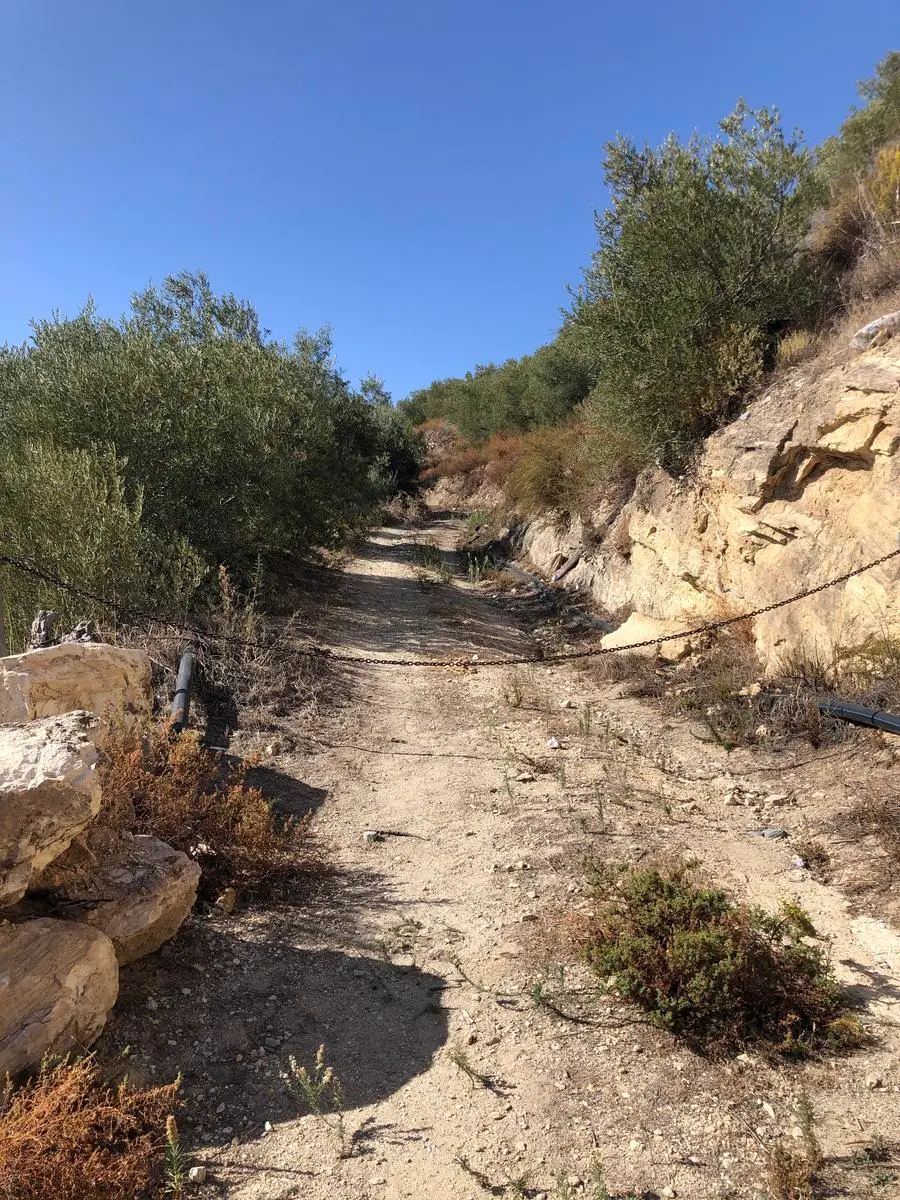
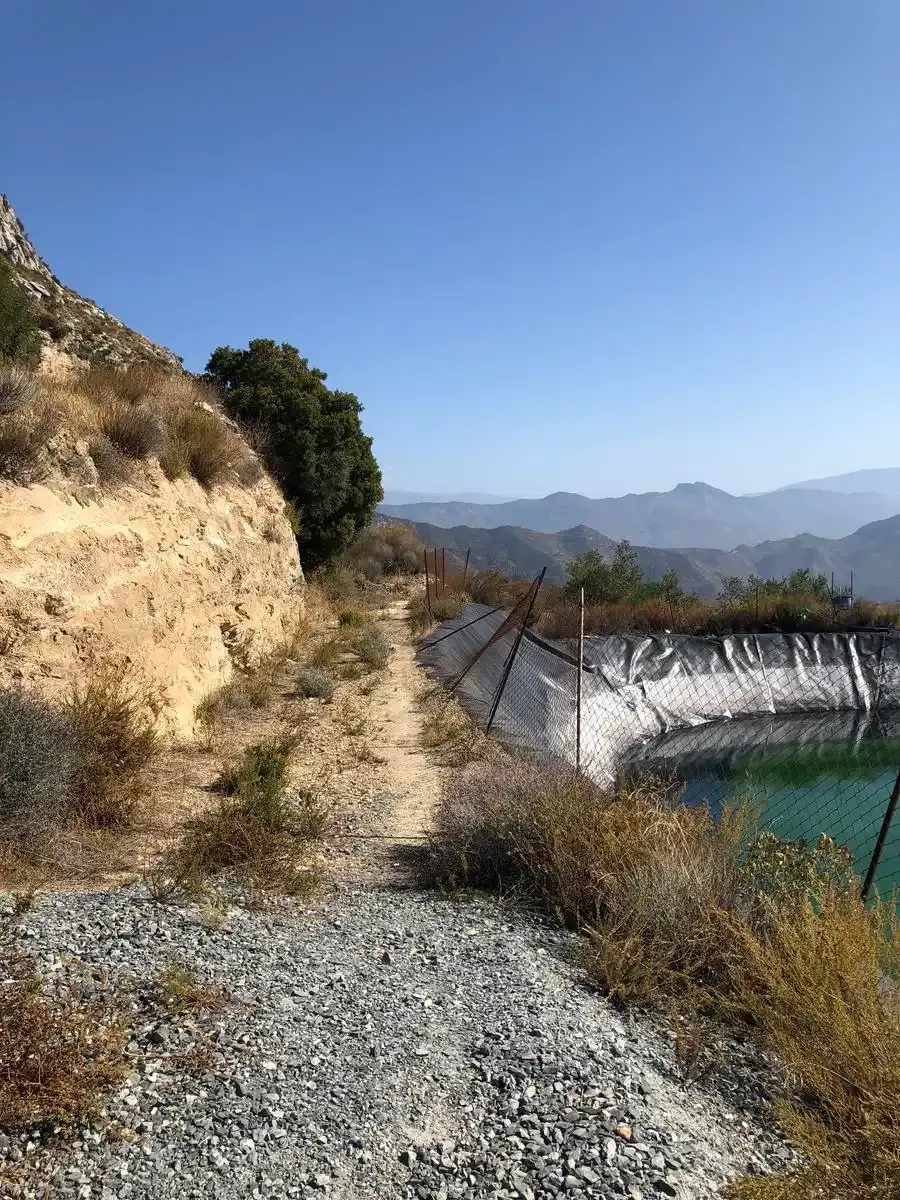
Where the tarmac ends, a track continues north towards the crag. At the foot of the rock a path climbs to the top, with a steep stretch where a chain helps. At the top you can walk round the remains of the fortress. You return the same way.
History
From the pottery, the site is dated to the 10th and 11th centuries, in the Al-Andalus period: a defensive stronghold at the top and a village on the slope, with Nasrid-era burials around the Río de la Miel. After the Castilian conquest a small castle was reportedly added to the tower. Local tradition links it to the landing of Abd al-Rahman I at La Herradura in 755, which is not documented.
Getting there and parking
From Nerja, take the old N-340 road towards Almuñécar. After Maro, before Cerro Gordo, the tarmac Río de la Miel road turns off to the left, passes under the motorway bridge and climbs the valley. It is narrow and single-track in many places: drive slowly. Where the tarmac ends, park at the bend without blocking the way.
Downloads
Sources: OpenStreetMap trail line and spot heights (elevation from Open-Meteo); hikers' accounts (Los Cruzado, 2011; Parapente Davilius, 2013) recording local chronicles about the site. Checked in October 2026.
📈 Perfil de elevación
Warnings
Recommendations
Points of interest
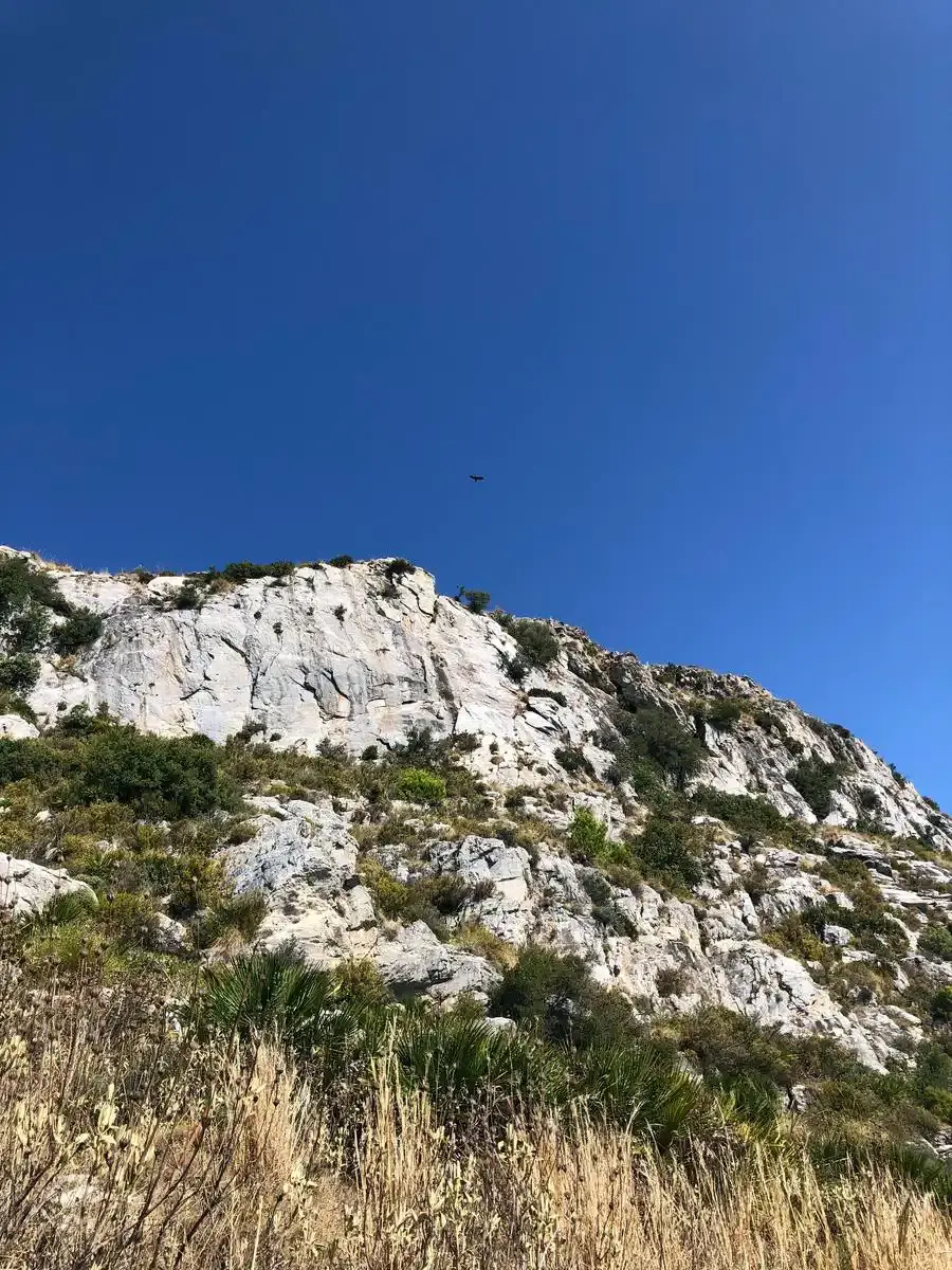
Peñón de los Castillejos
Wall sections, cisterns and rooms of a 10th–11th-century fortress.
Photo: EsNerja
End of the tarmac
Start of the climb; park at the bend without blocking it.
Gallery
Frequently asked questions
Keep exploring
Distance
2.8 km
Time
1h 15min
Elevation +
260 m
Elevation −
260 m
Max alt.
936 m
Min alt.
720 m