Hiking in Nerja
13 hiking trails in Nerja and the Axarquía with maps, elevation profiles and GPX tracks.
All trails
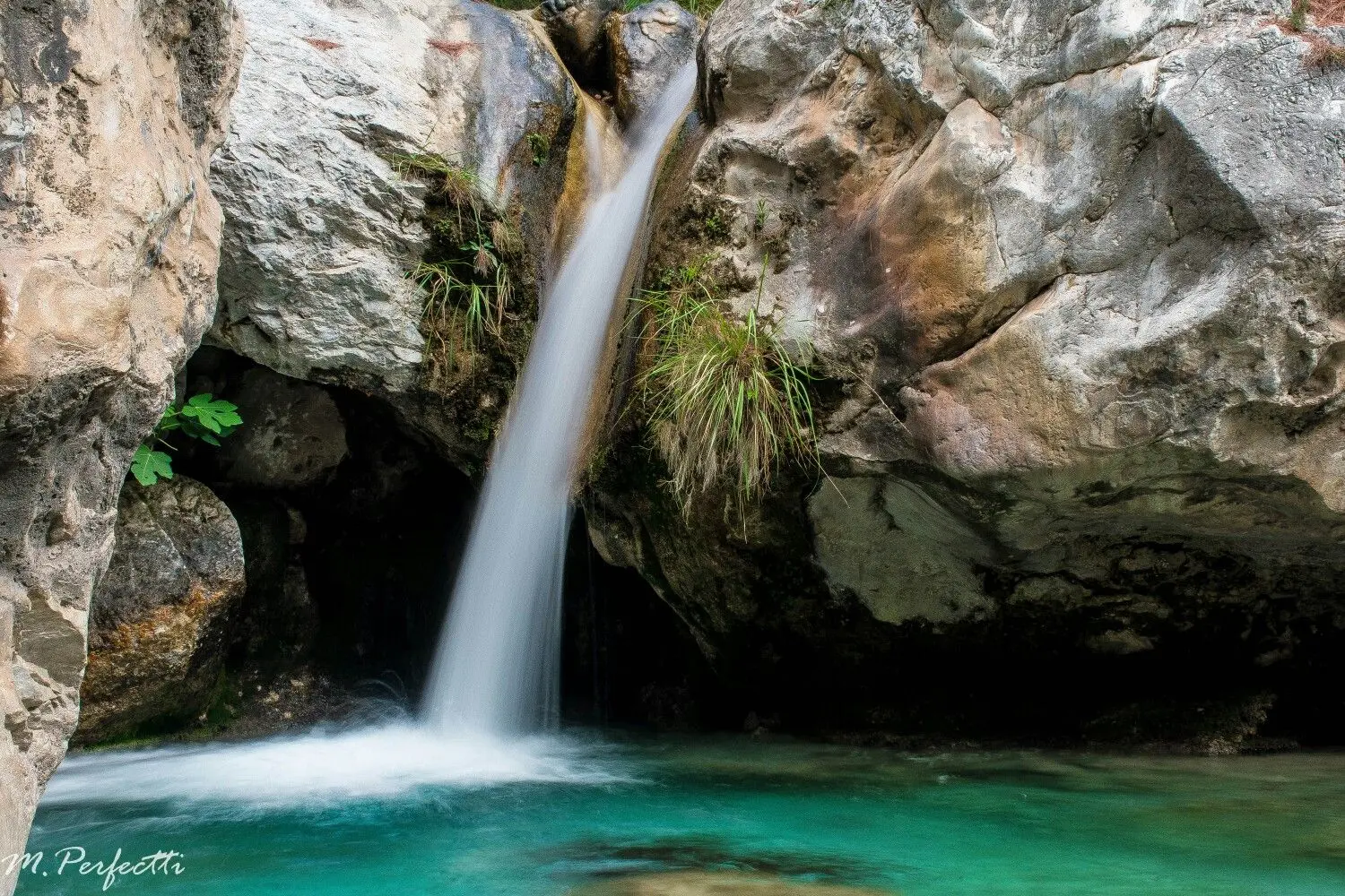
ModeradaRío Chillar
Nerja
Experience something truly unique in the Cahorros of the Río Chillar. Nerja's most popular water trail, where you'll walk along the riverbed between breathtaking rock walls.
15.1 km+300 m6h
 Moderada
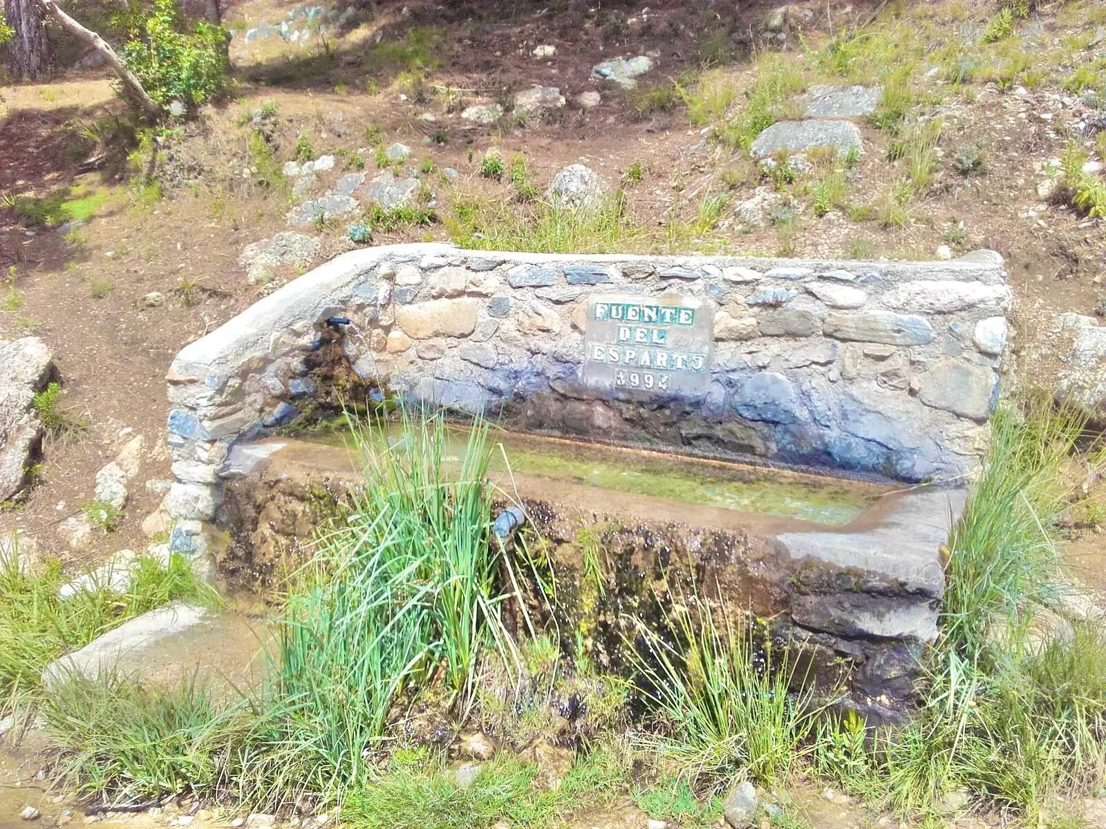
Fuente del Esparto Walk from the Nerja Caves
Nerja
From the Nerja Caves to the Fuente del Esparto spring along the Pinarillo track (GR 249): 11.5 km round trip through pines, 420 m of ascent, a fountain at El Pinarillo and sea views.
11.5 km+600 m3h 45min
 Moderada
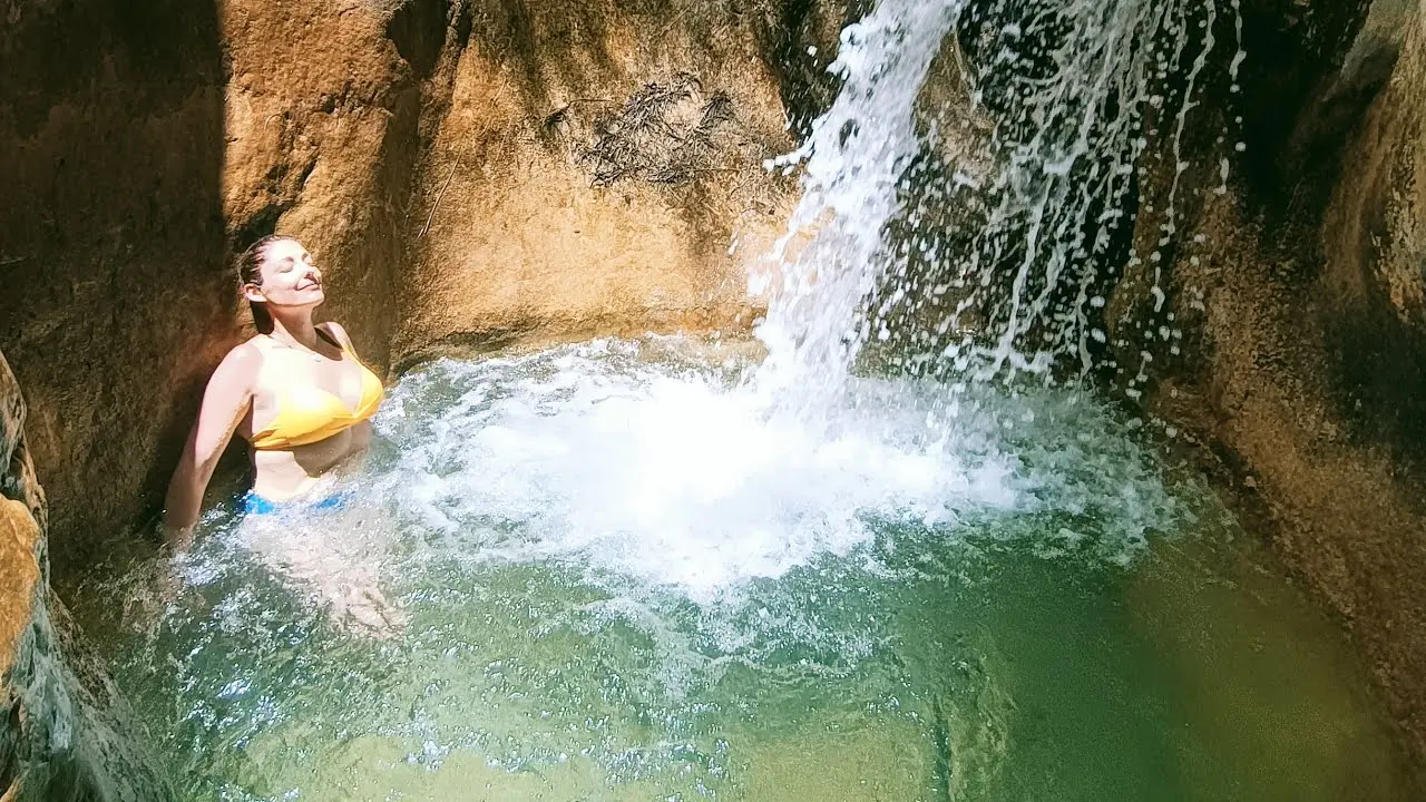
Río Higuerón Walk from Frigiliana
Frigiliana
Walk up the bed of the Higuerón river from Frigiliana, past the Pozo Batán and the Cruz de Napoleón to the Lízar weir: 10.7 km round trip among pools, gorges and pines.
10.7 km+300 m3h 45min
 Fácil
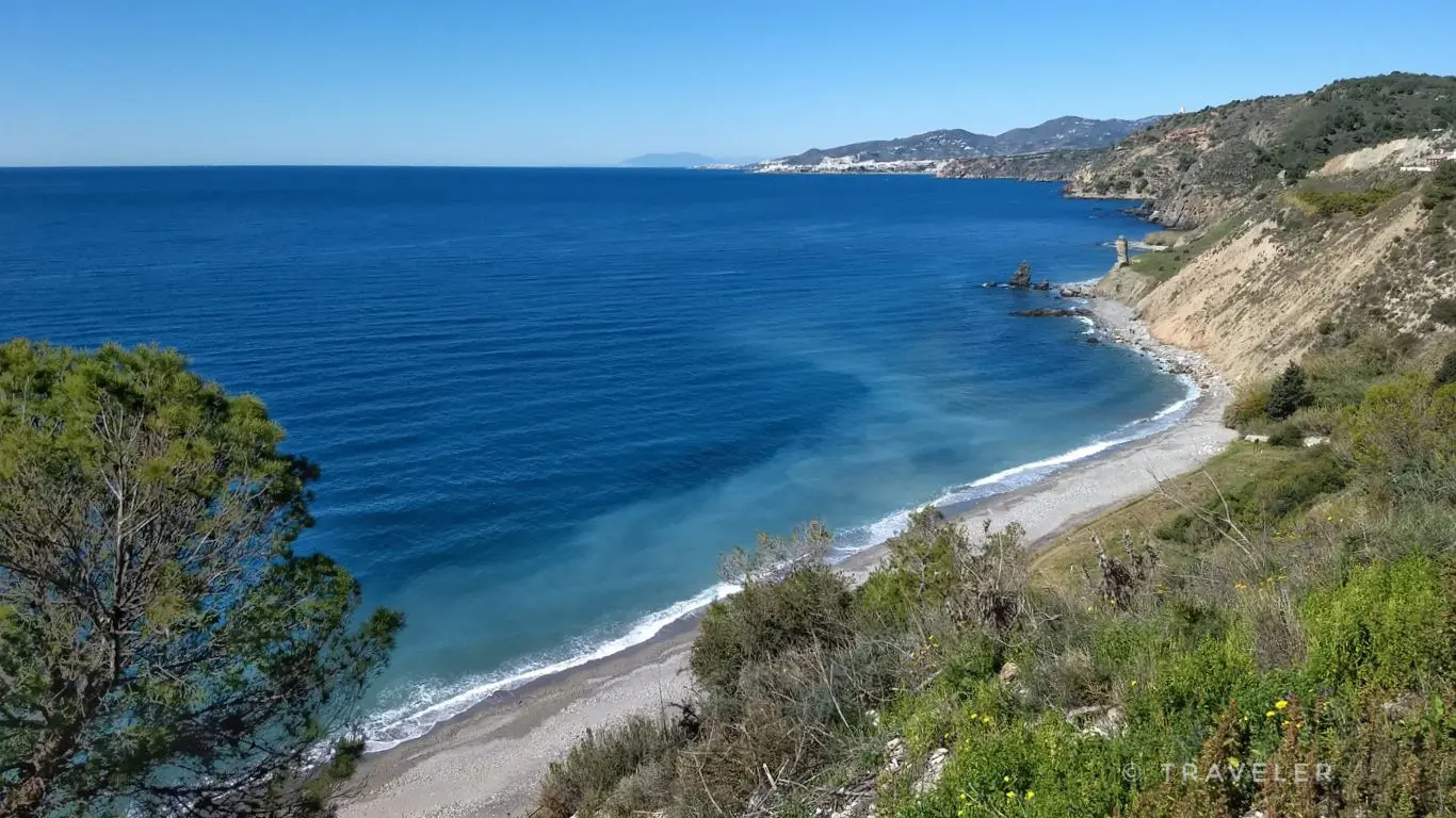
Maro Cliffs: Walk to the Torre de Maro
Nerja
A short walk from Maro to the Torre de Maro, a 16th-century watchtower above the Maro-Cerro Gordo Cliffs: 4.6 km round trip, with the Torre de Cerro Gordo as an extra.
4.6 km+120 m1h 45min
 Difícil
Pico del Cielo Hike from the Nerja Caves
Nerja
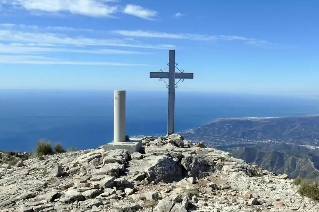
Climb Pico del Cielo (1,508 m), Nerja's mountain, on the PR-A 477 trail from the Nerja Caves: 19.6 km round trip, 1,360 m of ascent, no water and the whole coast at your feet.
19.6 km+1500 m7h 30min
 Moderada
El Saltillo Suspension Bridge from Canillas de Aceituno
Canillas de Aceituno
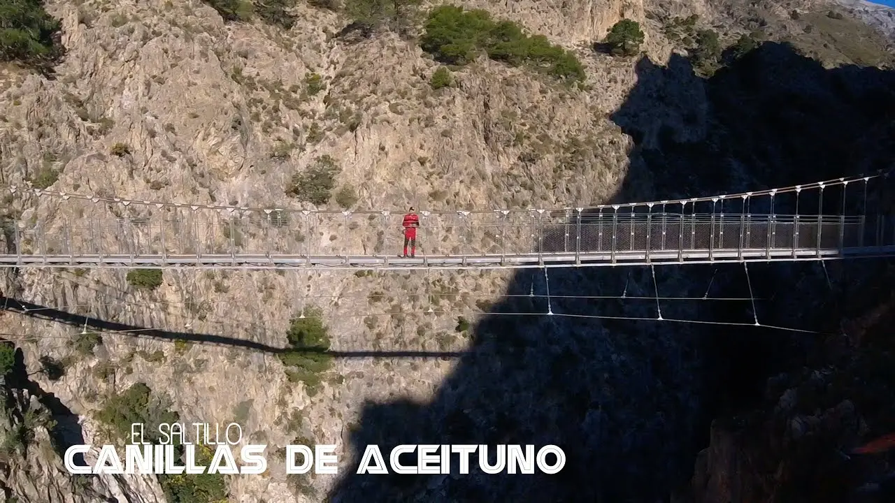
Walk from Canillas de Aceituno to the El Saltillo suspension bridge, about 50 m across the Almanchares river: 6.4 km round trip on a path with crags and handrails. Free.
6.4 km+300 m3h
 Difícil
La Maroma Hike from Canillas de Aceituno
Canillas de Aceituno
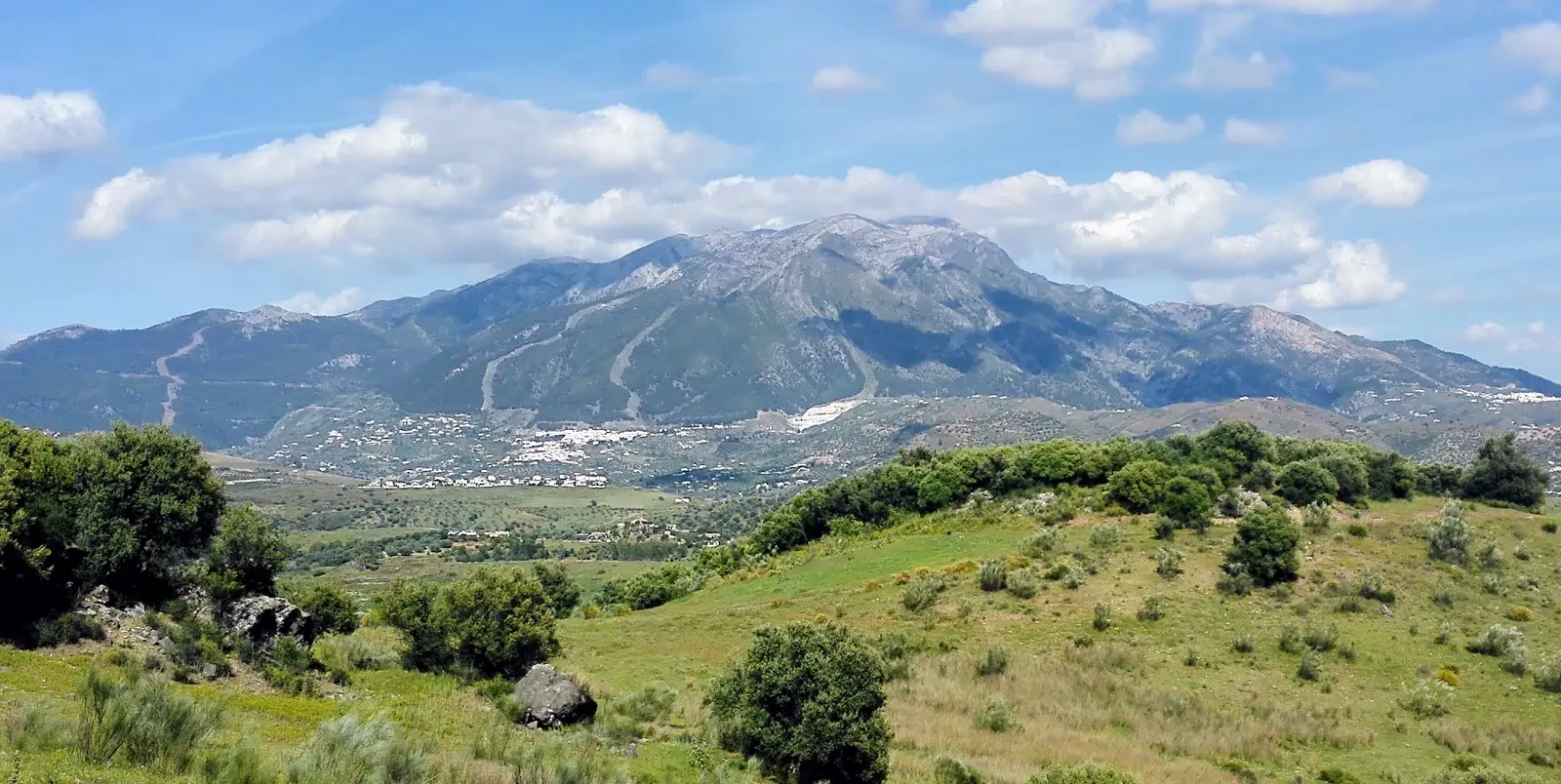
Climb La Maroma (2,069 m), the roof of Málaga, on the SL-A 142 trail from Canillas de Aceituno: 17.7 km round trip, 1,420 m of ascent, two springs and views from the sea to Sierra Nevada.
17.7 km+1550 m7h 30min
 Fácil
El Pinarillo Walk from the Nerja Caves
Nerja
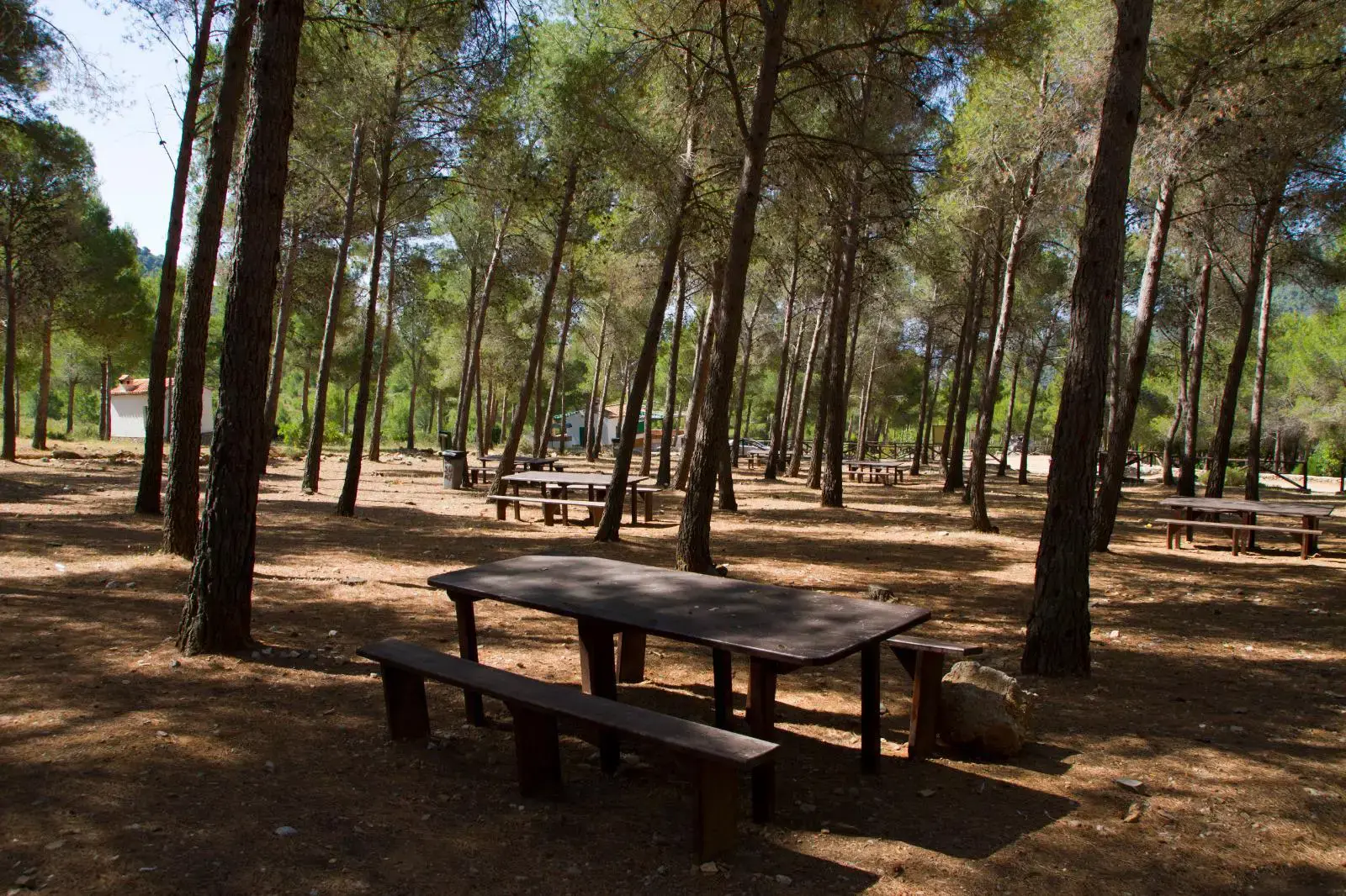
Easy walk along a forest track from the Nerja Caves to the El Pinarillo picnic area: 9.4 km round trip through pines, with tables, barbecues and a fountain at the end.
9.4 km+370 m2h 30min
 Fácil
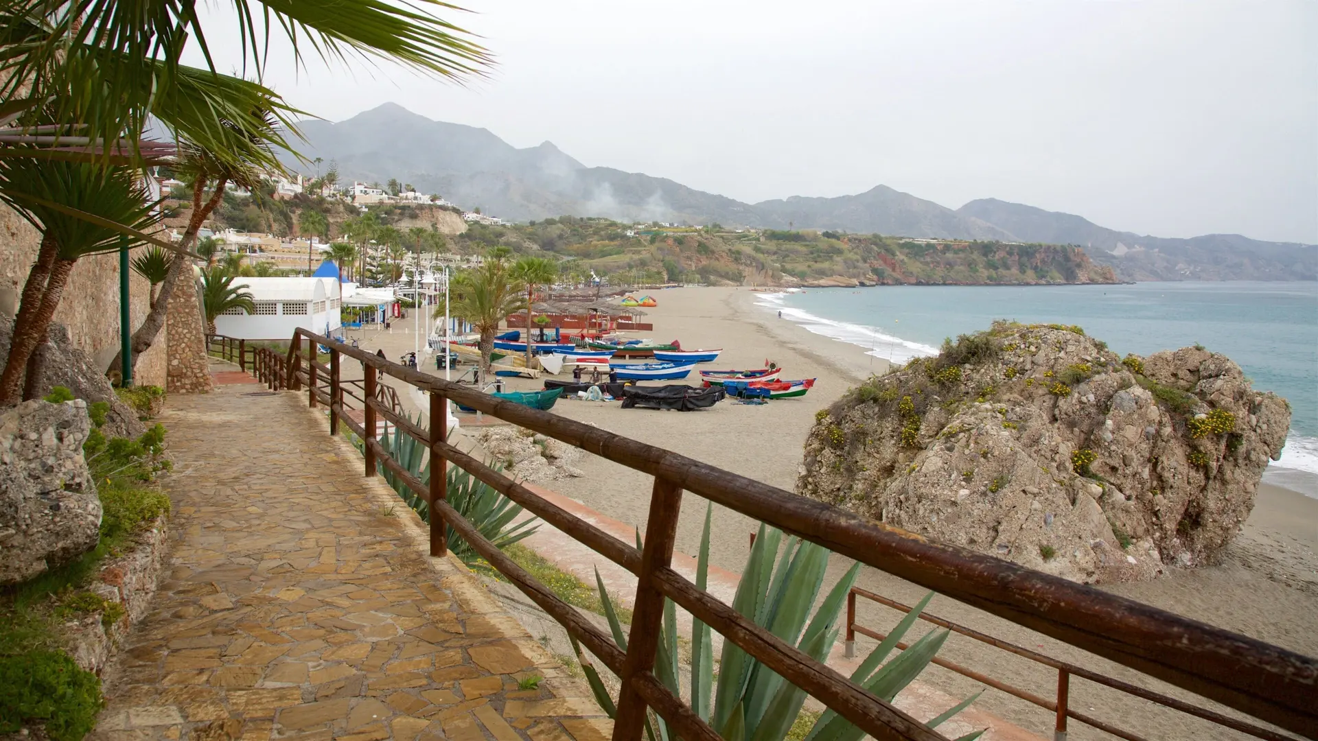
Walk from Burriana to Maro
Nerja
An easy 3.3 km walk from Burriana beach to Maro past the Águila aqueduct, with a bus back. Map, PDF and GPX.
3.3 km+140 m1h
 Moderada
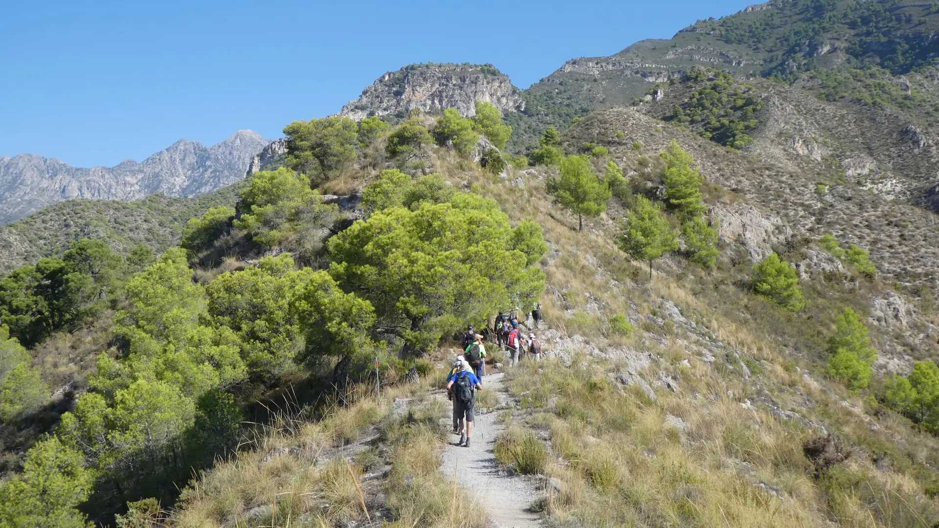
Walking from Nerja to Frigiliana
Nerja
Walk from Nerja to Frigiliana on hill paths: the Cruz del Pinto, the Lomas del Chíllar viewpoint and the Pozo Batán. 7.6 km, 3–3.5 h and back by bus.
7.6 km+700 m3h 15min
 Muy difícil
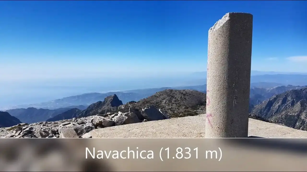
Navachica Hike from the Fuente del Esparto
Nerja
Navachica (1,832 m), the highest point of the Sierra de Almijara, from the Fuente del Esparto via Pico del Cielo and the ridge: 21 km round trip and about 1,900 m of total ascent. Experienced walkers only.
21.0 km+1900 m9h 30min
 Moderada
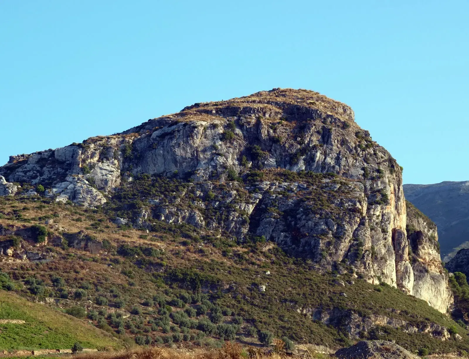
Peñón de los Castillejos: Walk to the Moorish Fort
Nerja
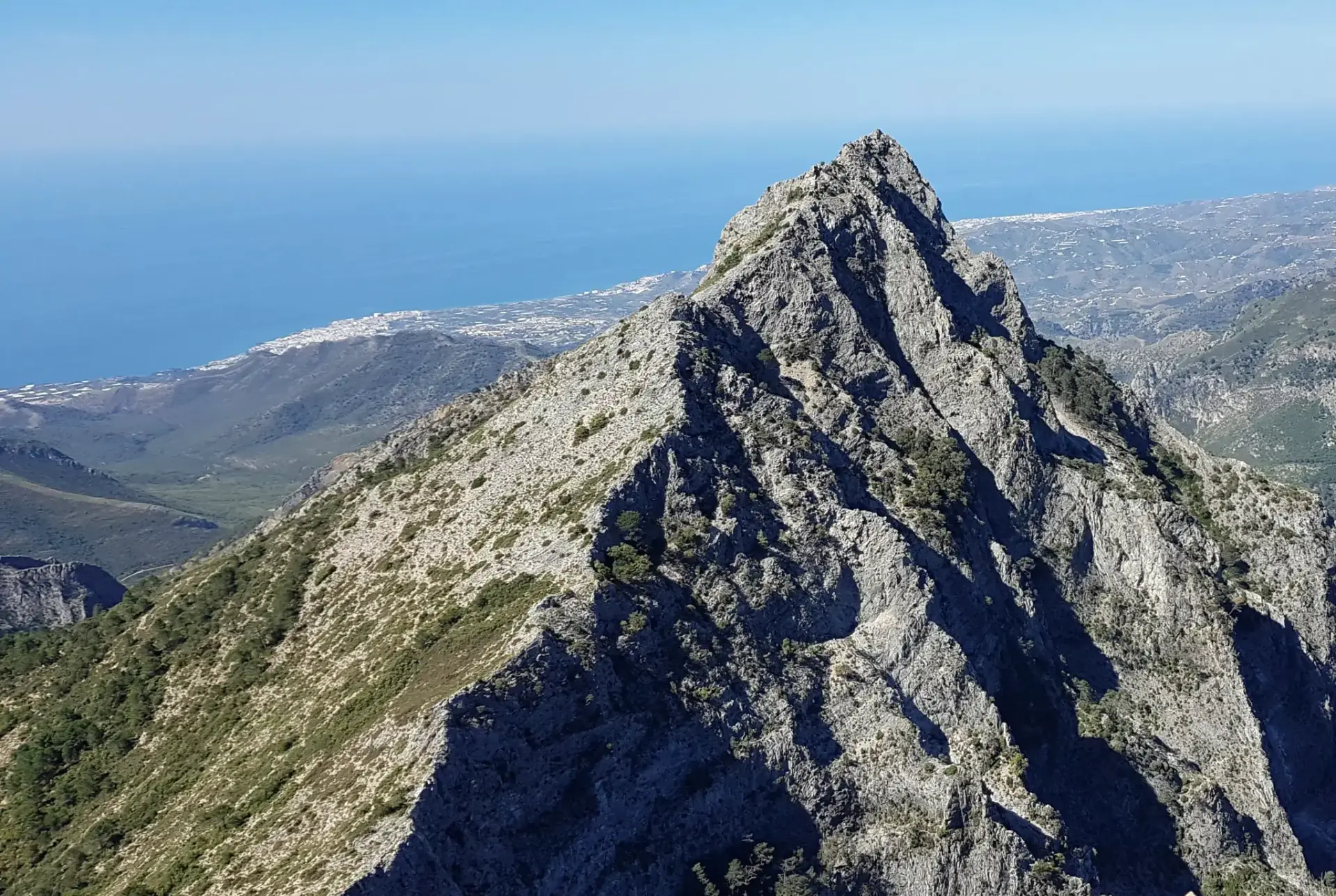
A short climb up the Peñón de los Castillejos (936 m), above the Río de la Miel valley, to the remains of a 10th–11th-century Moorish fortress with views of Maro, Cerro Gordo and La Herradura.
2.8 km+260 m1h 15min
 Difícil
El Almendrón Hike from the Fuente del Esparto
Nerja
Climb El Almendrón (1,514 m) from the Fuente del Esparto along the Vereda de las Minas and past the La Furia mines: 11.3 km round trip, 940 m of ascent and views over the whole Almijara.
11.3 km+1100 m5h 30min
Hiking tips for Nerja
💧
Bring enough water
Water fountains are scarce on many trails. In summer, carry at least 2 litres per person.
☀️
Sun protection
Coastal trails have little shade. Wear sunscreen, a hat and sunglasses.
🧢
Proper footwear
Many trails have rocky terrain. Wear hiking boots with good grip.
📱
Download the GPX
Download the GPX track before setting off. Mobile coverage can be limited.
🌡️
Avoid the midday heat
In summer, start early to avoid extreme heat. Best time: before 10:00.
🚨
Tell someone your route
Always share your itinerary and estimated return time with someone you trust.
Keep planning your visit
Río Chíllar trailClosed since 2023: status and alternatives
Nerja weatherForecast, sea and UV index
Where to parkFree and paid car parks, with prices
ActivitiesKayaking, boat trips, diving and day trips
Nerja beachesBeaches and coves, with live sea conditions
Map of NerjaThe whole town on an interactive map