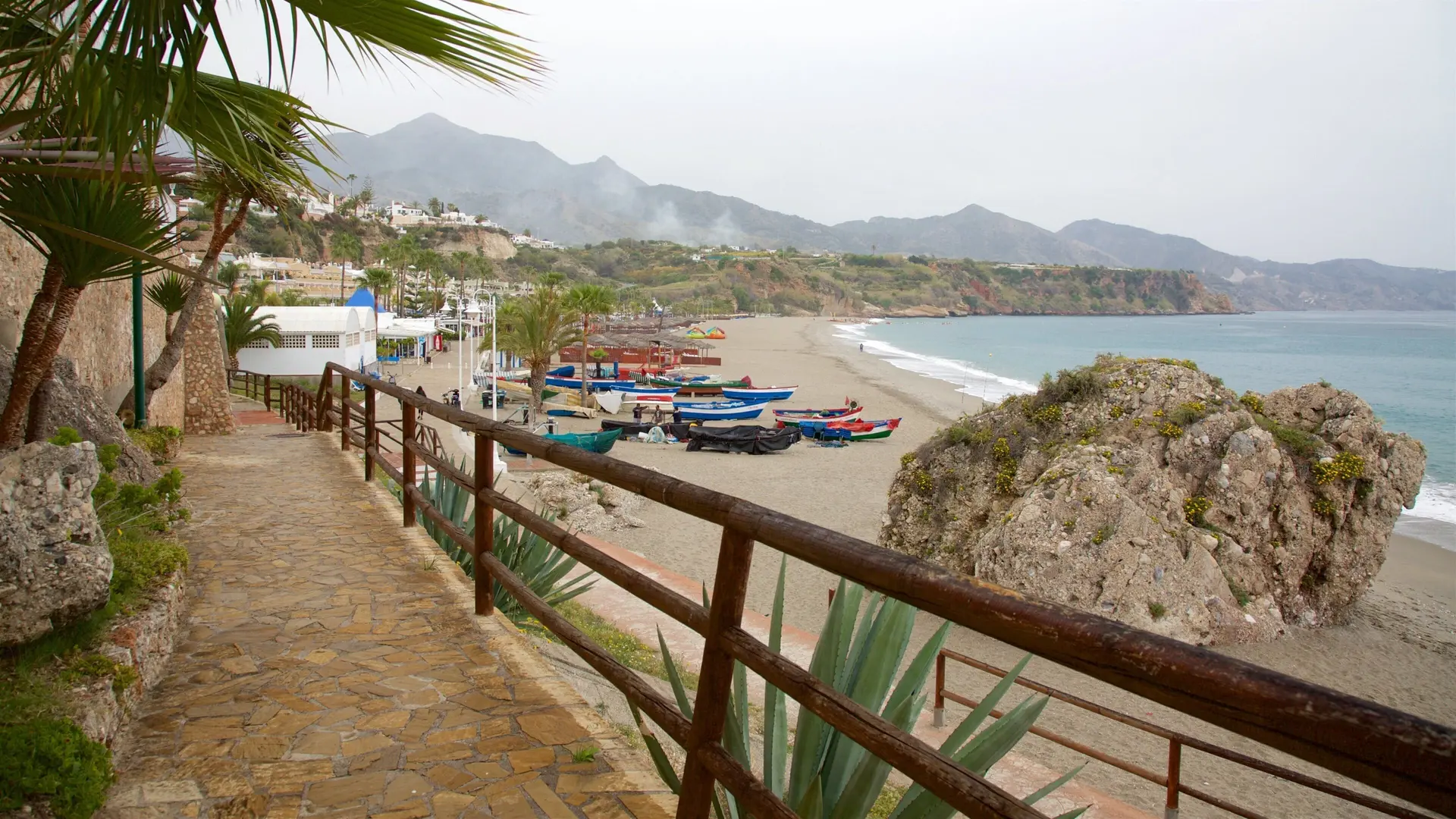
Walk from Burriana to Maro
Trail description
The walk from Burriana to Maro links Nerja's liveliest beach with the village of Maro in just over 3 km, passing the Águila aqueduct, the most photographed landmark on the way. It is a short, easy walk, with one flight of steps and a stretch alongside the Maro road, and you can extend it down to Maro beach. Return by bus or the same way.
Walk map
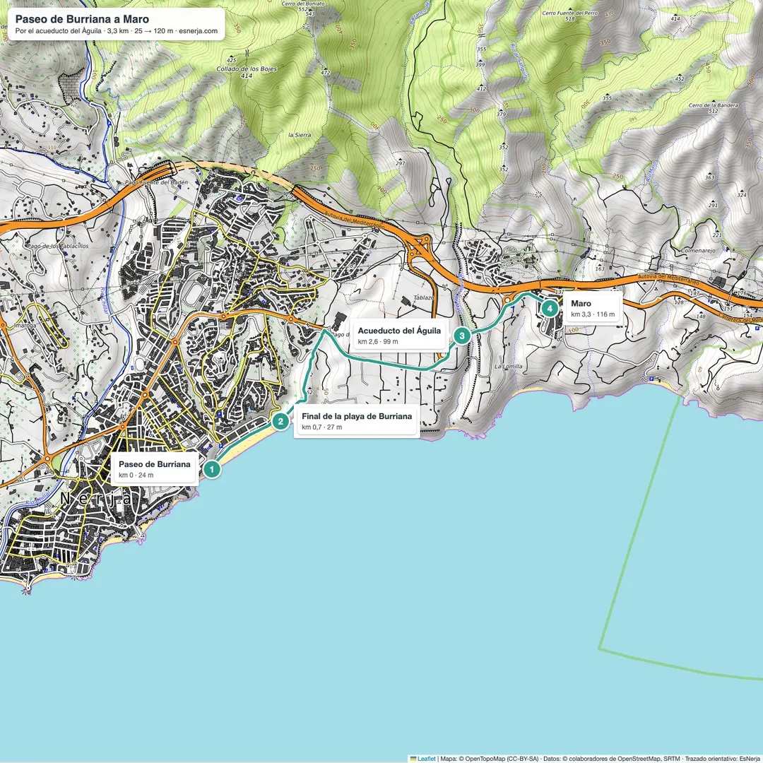
Walk facts
- Start: Burriana promenade (Burriana beach, Nerja).
- Finish: Maro, by the Maravillas church.
- Distance: 3.3 km, one way.
- Elevation: about 140 m of climbing.
- Time: 1–1.5 h with stops.
- Difficulty: easy, with steps and a stretch next to the road.
- Return: Maro–Nerja bus (about 10 minutes) or on foot.
The walk, section by section
Burriana promenade (km 0–0.7). Walk east along the Antonio Mercero promenade, past the beach bars, to the end of the beach.
End of Burriana – Águila aqueduct (km 0.7–2.6). Steps and a path climb between orchards to Calle Rabat. From there a footpath runs alongside the Maro road to the aqueduct.
Águila aqueduct – Maro (km 2.6–3.3). The Águila aqueduct is a 19th-century structure about 40 m high, with four tiers of arches over the Coladilla ravine and a weather vane with a double-headed eagle that gives it its name. It was built to carry water to the old San Joaquín sugar mill in Maro and was restored between 2010 and 2012. A cobbled path leads from here into Maro.
Getting there and parking
Burriana is a 10–15 minute walk from the Balcón de Europa. By car, the free car park at the Burriana roundabout (165 spaces) is the most convenient; in summer it fills up early. There are buses back to Nerja from Maro.
If you want to keep going
From Maro you can walk down to Maro beach (about 15 minutes) or follow the cliffs to the Torre de Maro. The Nerja Caves are a 10-minute walk from Maro.
Downloads
Sources: Wikipedia (Spanish), "Acueducto del Águila"; trail line from OpenStreetMap with elevations from Open-Meteo. Checked in October 2026.
📈 Perfil de elevación
Warnings
Recommendations
Points of interest

Burriana beach
Start of the walk, along the promenade.
Photo: El Pantera, CC BY-SA 4.0, via Wikimedia Commons

Águila aqueduct
19th century, about 40 m and four tiers of arches.
Photo: Mickey Løgitmark, CC BY 3.0, via Wikimedia Commons

Maro and the Maravillas church
End of the walk and bus back.
Photo: Dguendel, CC BY 4.0, via Wikimedia Commons
Frequently asked questions
Keep exploring
Distance
3.3 km
Time
1h
Elevation +
140 m
Elevation −
50 m
Max alt.
122 m
Min alt.
11 m