Río Chillar
Enjoy a unique experience in the Cahorros of the Río Chillar. Nerja's most popular water route, where you will walk along the riverbed between impressive rock walls.
Is the Río Chíllar open? Not officially. Nerja Town Hall closed access to the river in August 2023 because of the wildfire risk and overcrowding, and in October 2026 it is still closed while the Andalusian government works on reopening it with a daily cap and paid entry.
Even so, many people still walk up on their own. If you do, go well informed: there is no supervision or services in the riverbed, many mobile networks have no coverage, and a rescue takes time. Emergencies: 112.
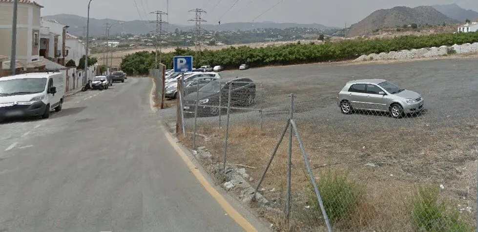
The route in figures: 7.6 km one way from the car park at the end of calle Mirto to the Vado de los Patos pool (about 15 km return on the same path), 5–7 hours, around 300 m of ascent, mostly walking in ankle-deep water. Download the map and guide as a PDF (4 pages, in Spanish) and the GPX track to use offline.
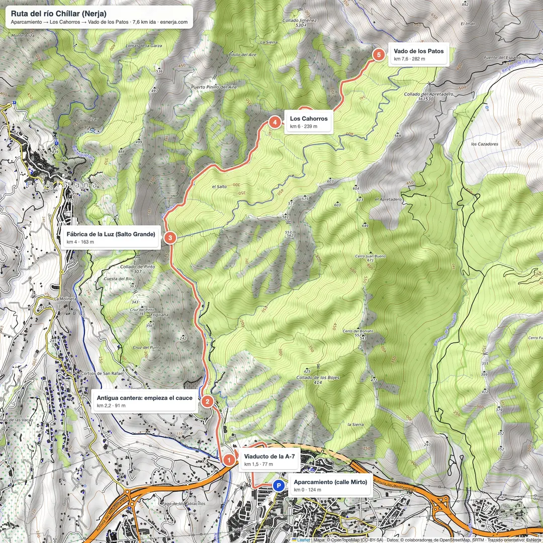
The Cahorros route of the Río Chíllar is one of the most popular hiking routes in Nerja, ideal for those looking for adventure and nature. It is a long route of moderate difficulty, although reaching the first pool is more accessible, which makes it a suitable option for families, especially in spring and summer.
As it is a spring-fed river, its flow remains constant throughout the year, and the water temperature is milder than that of other rivers in Málaga fed by snowmelt.
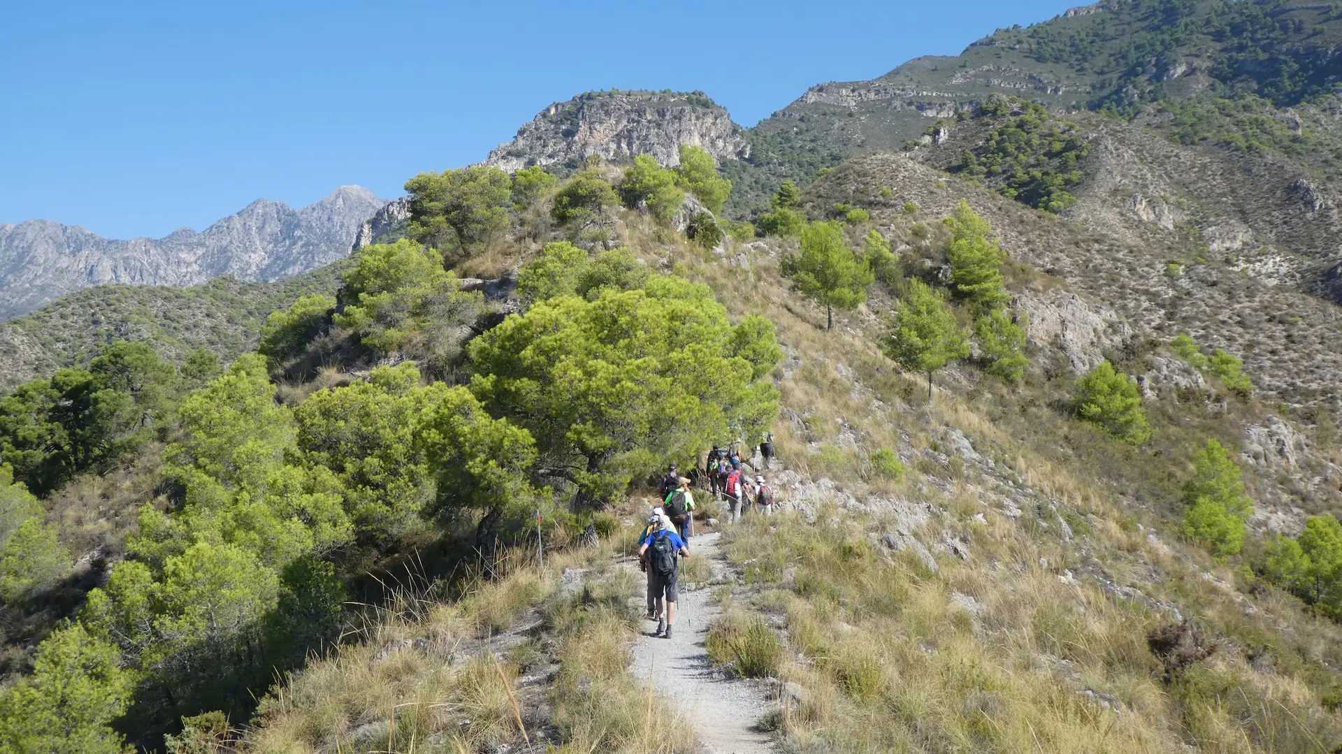
The start of the route crosses a drier area, surrounded by cliffs, where the sun can be intense on hot days. However, water will soon begin to appear, and younger children will be able to cool off by wetting their feet in the river. As the route continues, the riverbed narrows and the surroundings become greener and fresher.
The climb up the river can be adapted to suit the group: you can reach the river source, a beautiful place and quite a challenge for hiking enthusiasts, or choose a shorter route. The most common option is to reach the first large pool, which is easily recognised after passing two waterfalls — one small and one larger and more spectacular —, walking through the water and crossing the impressive Cahorros, a narrowing of the riverbed between rock walls.
Throughout the excursion you will be surrounded by water, trees, native flowers and the relaxing song of birds. The Cahorros area is, without doubt, the most impressive part of the route: a narrow gorge of karst origin, with walls up to twenty metres high that can almost be touched by stretching out your arms. The feeling when walking through this section is truly incredible.
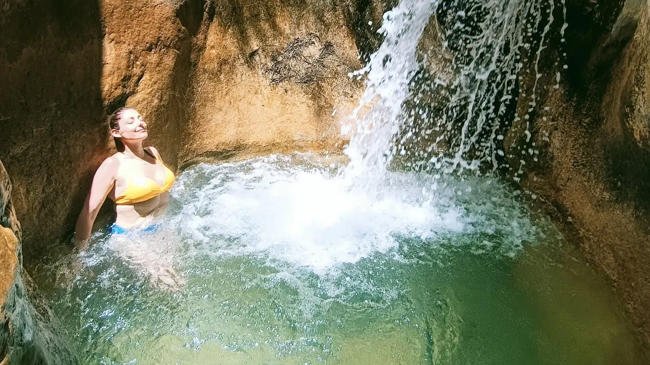
The river continues its course between these rock formations and leads walkers to new pools and natural crystal-clear pools. In summer, the water rarely exceeds a metre in depth. From this point, the route becomes more demanding: the terrain is rougher, large rocks appear and the ascent becomes steeper. For this reason, this area is less frequented by families, although it is well worth it for the beauty of the landscape. Pine woods stretch out on both sides of the river, and after about two more kilometres of walking you reach the dam.
The presa del Río Chíllar marks the end of the route. There you will find the Vado de los Patos, a pool fed by a waterfall and enlarged thanks to a small artificial dam. It is the perfect finishing touch to an unforgettable day of hiking in the heart of nature.
From the moment you set off until the dam there are 8 km to cover and this is the end of the excursion. It is recommended to return by the same path used on the way up.
| 🏞 Route: | Cahorros Río Chillar |
| ⏳ Route time: | Between 6 and 7 hours, depending on our pace |
| 🥾 Difficulty: | Moderate |
| 🌏 Location: | It is located in the Río Chillar, Nerja |
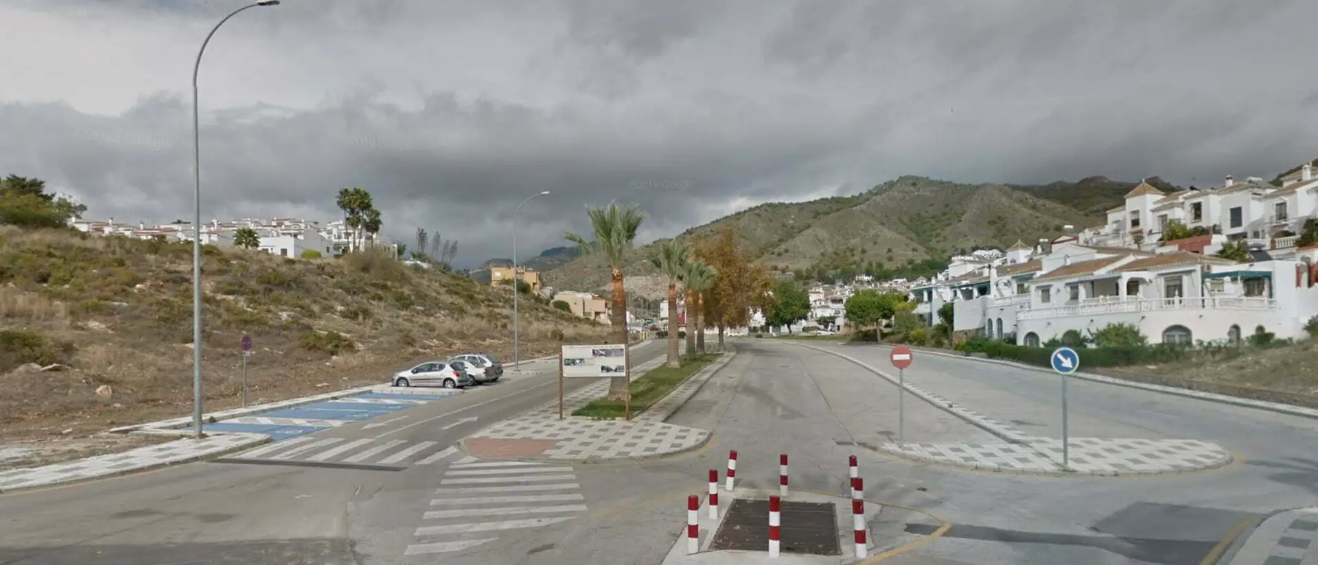
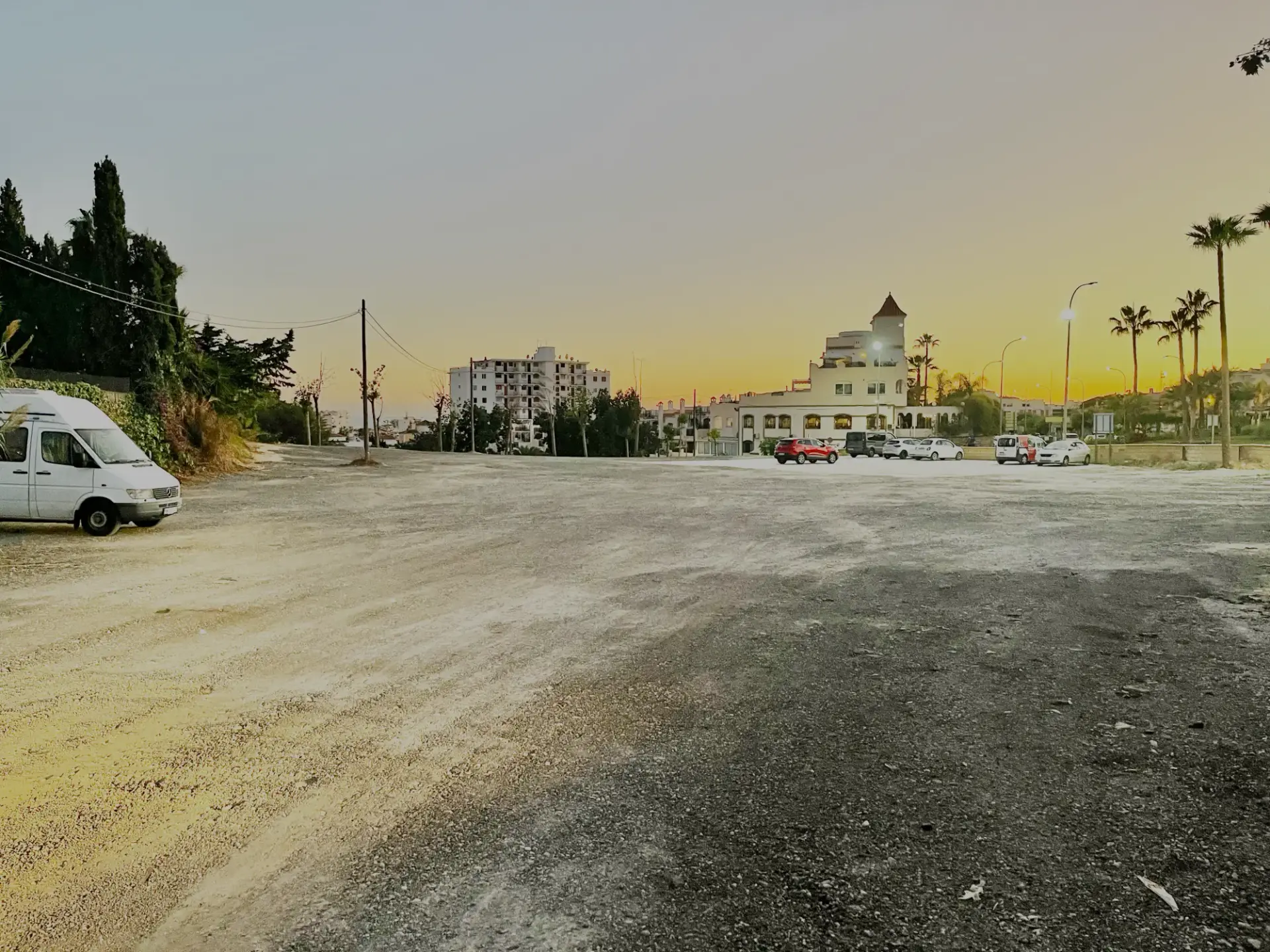
| 🅿️ Parking: | Río Chillar car park |
Video
1 videoRío Chillar — video 1
Where to park


How to get to Río Chillar
Plan your route here: enter your starting point and choose how you want to travel.
Already on your way? Open GPS navigation:
Review profile
Summary of the 483 most recent Google reviews (April 2017 – August 2026). These are visitors' opinions, analysed by EsNerja.
According to 483 recent reviews on Google (483): most mentioned: beautiful canyon and river scenery · refreshing in hot weather · fun walking-in-water experience · good for hiking and photos.
Months with the best average rating
January, April, May
Based on review dates; not a forecast.
Frequently asked questions
For the route that ends at the dam, the approximate time is about 6 -7 hours (round trip), although this will also depend on the stops and the pace of the walk during the hike.
*Espinear This route should be done at a slow pace. On 80% of the route, you will walk in the river. Normally, the water reaches your ankles, although in previous years it has reached knee height. Take care when doing the route!
It is recommended to set off early in the morning to avoid crowds, and to avoid it getting dark.
The trail route is of medium difficulty; you do not need climbing knowledge, but you should be aware that the path is difficult to access for emergency services and civil protection.
The most recommended time to go into this trail is from March to October, simply because of the weather and the depth of the riverbed. Although it is a natural park and is open to the public all year round.
No, and it is absolutely forbidden to throw rubbish away. As this is a natural area, we must preserve it.
It is not allowed to light fires.
The environment must be preserved and therefore you must not pick fruit or plants from the surrounding area.
What's nearby
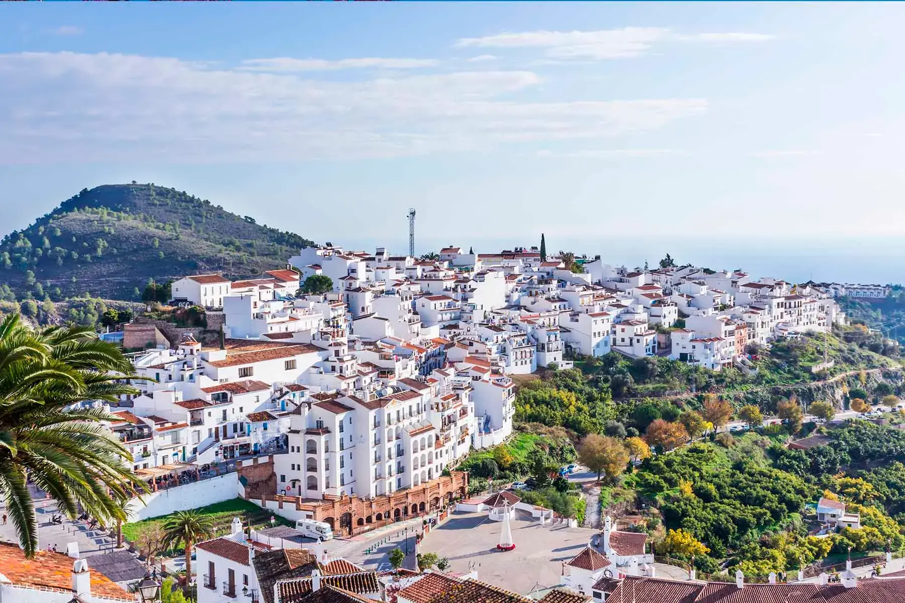
Frigiliana
Places to Visit

Nerja Market (Every Tuesday)
Places to Visit

Nerja Sunday Flea Market (Rastro)
Places to Visit
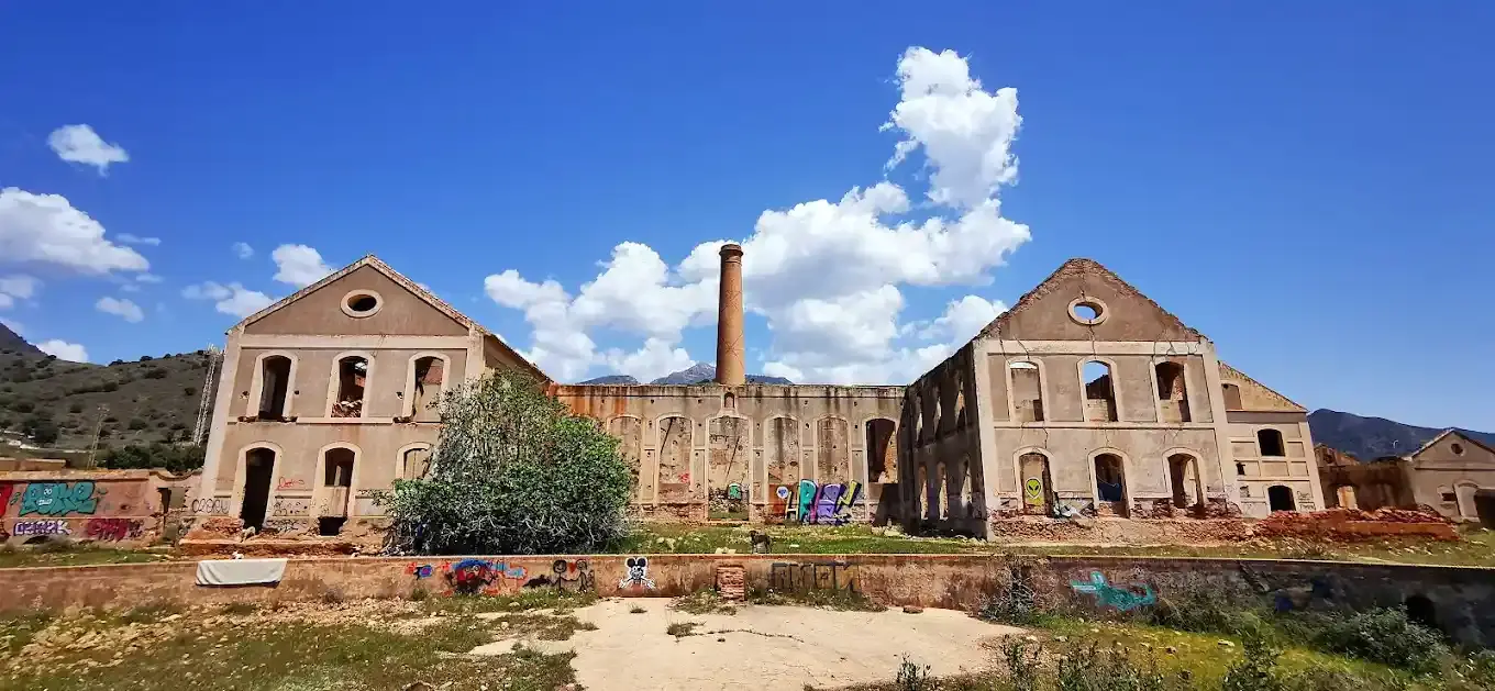
Maro Sugar Factory
Places to Visit
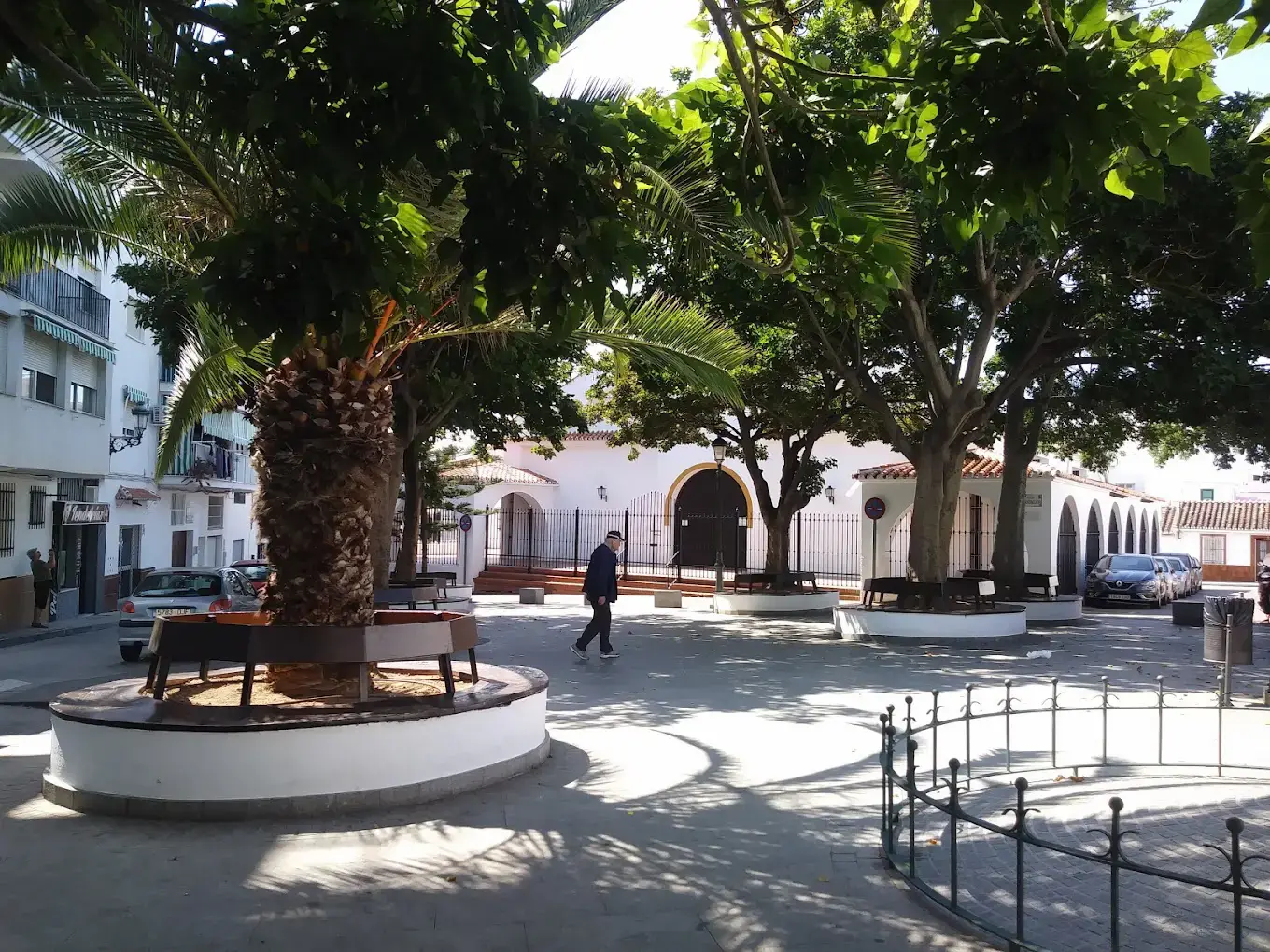
San Miguel Church
Churches and chapels

Nerja Municipal Library (Salvador Rueda)
Places to Visit























Keep exploring
Río Chillar
Places to Visit